
Carrock Fell - Lake District Walk
Thursday 4th September 2014
A walk that would enable me to build up the strength in my knee without risking too much steep descent. Carrock Fell offered us a good climb, a walk covering a decent distance and the all important relatively gentle descent.
Start: Calebeck (NY 3458 3584)
Route: Calebreck - Carrock Fell - Cumbia Way - High Pike (TP) - Carrock Beck - Calebreck
Distance: 6.25 miles Ascent: 528 metres Time Taken: 4 hours 40 mins
Terrain: Generally on obvious paths
Weather: Warm but overcast
Pub Visited: Royal Oak, Braithwaite Ale Drunk: Jennings Cumberland
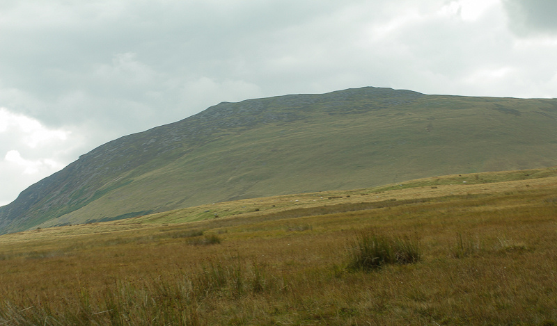
The first view of today's ascent up the side of Carrock Fell.
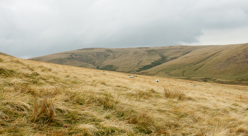
High Pike, seen here in the distance, marks the furthest point of today's walk.

Looking back down the path towards the area marked on the map as Rospow Hills.
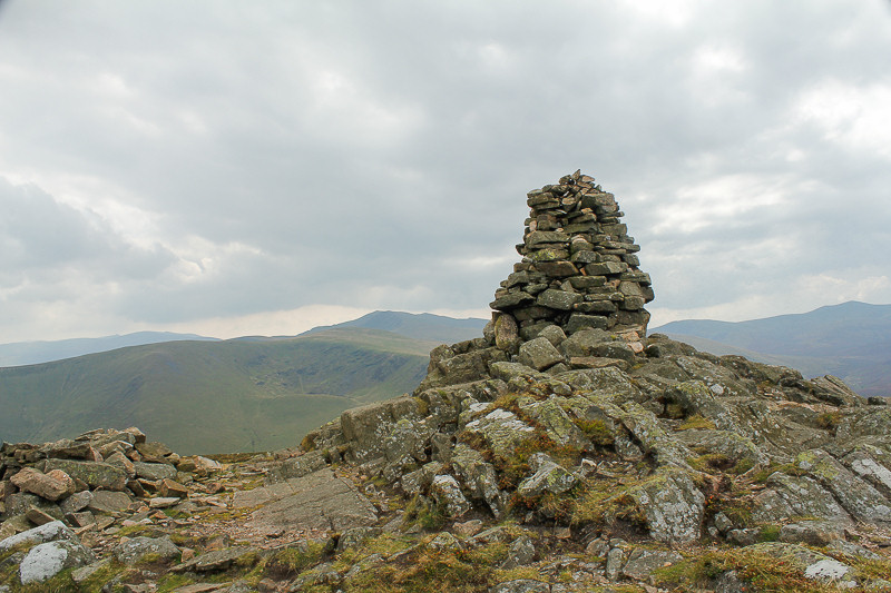
We didn't linger long at the summit cairn due to the numerous flys.
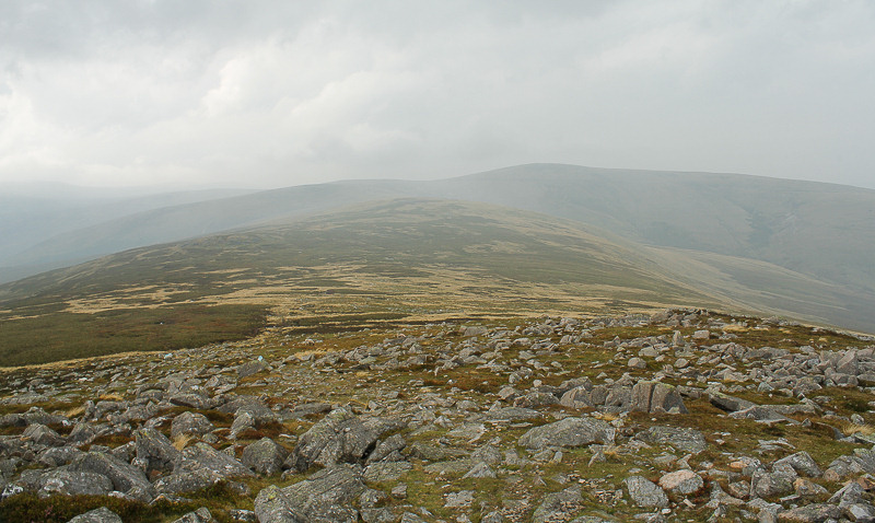
The route to High Pike is straight forward, if a little boggy.
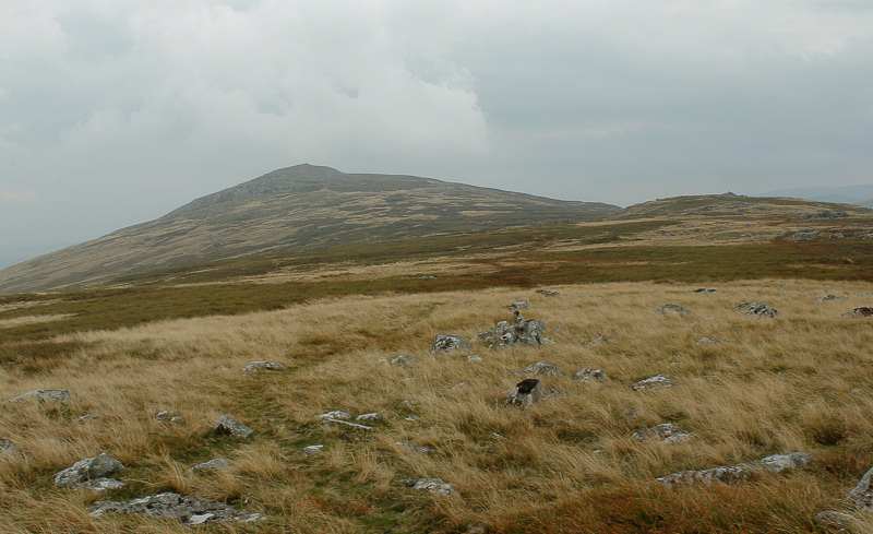
It's easy walking and we make quick time across the top.
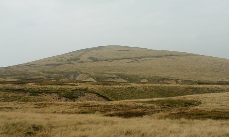
After skirting around part of the old mine works we join the Cumbria Way to make the short and easy ascent to High Pike's summit.

High Pike's summit trig.
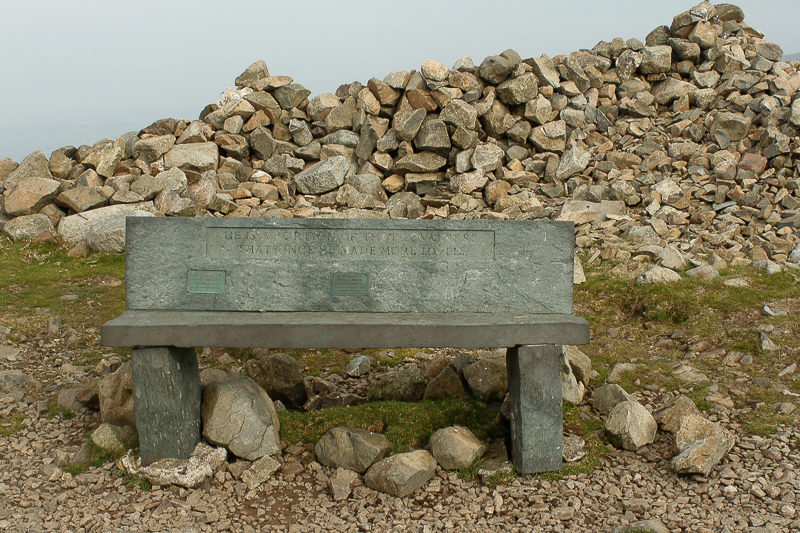
The seat provided a convenient spot for lunch.
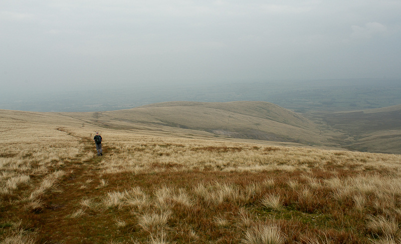
We head down the other side of High Pike towards the mines.
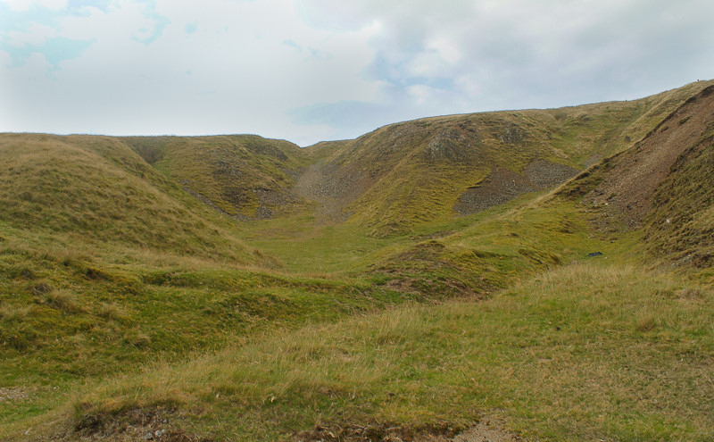
We follow the track down through the old mine workings before making the long walk back down the valley to the car.
All pictures copyright © Peak Walker 2006-2023